LDEM = Long Distance Endurance Motorcycling - (need to make the post titles shorter!)
Forgot to start GoPro in Arizona; started in California.
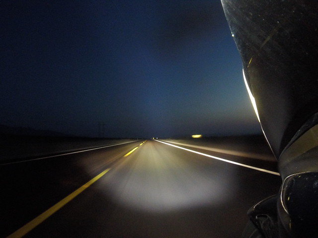
Dark, rain, and slick - and people think this is fun!
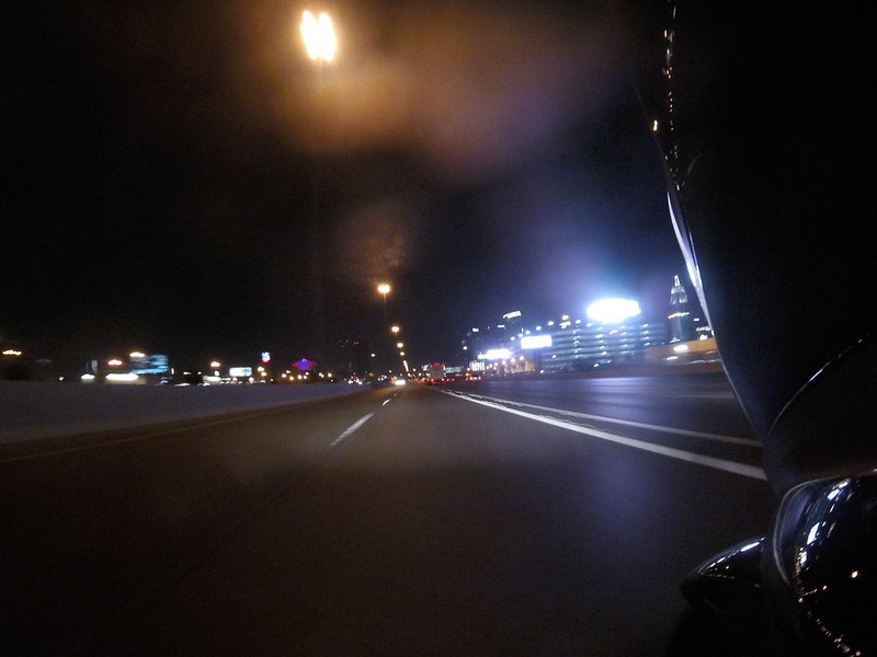
Vegas, baby. Okay, let’s move on!
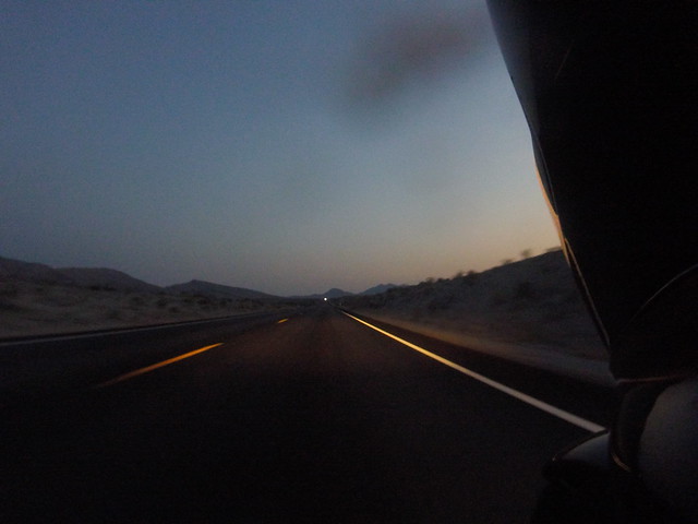
More desert and more light.
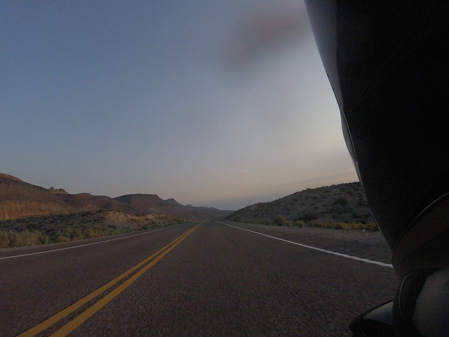
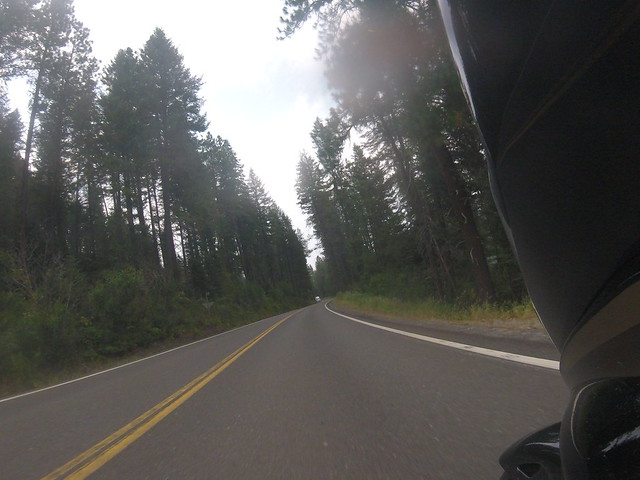
Rural Nevada - serene!
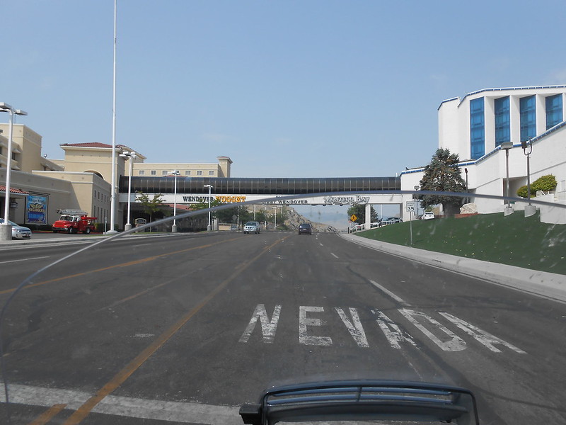
The Wendover, UT/West Wendover NV. border
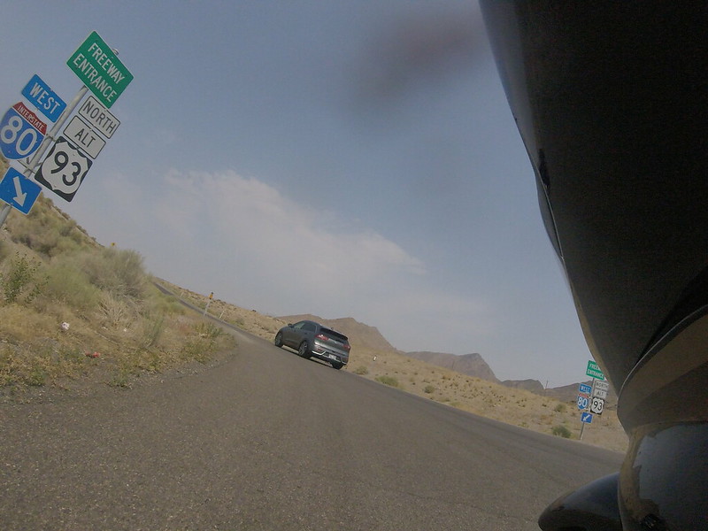
My last stretch of Interstate for today started here

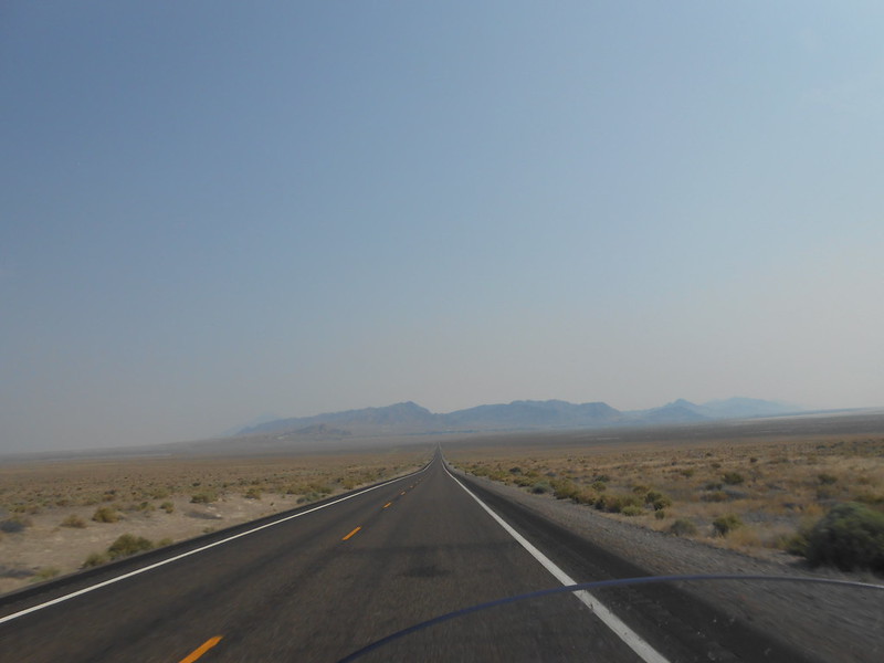
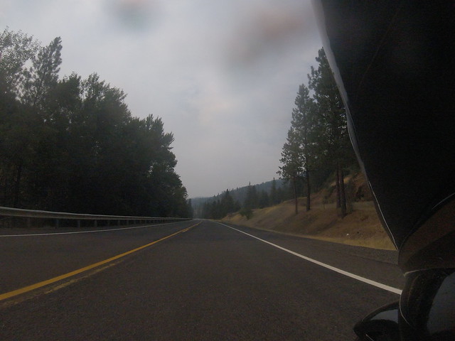
Haze in the sky; smoke from forest files to the west.
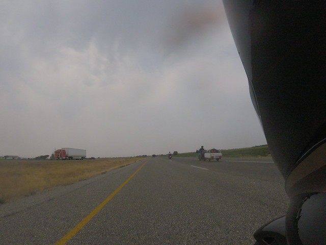
Touring riders....
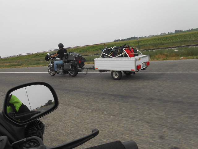
...not interested in Sturgis, I guess.
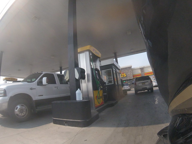
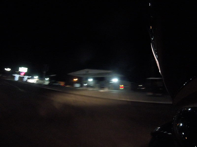
Another fuel stop - where am I?
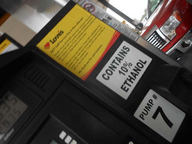
Sticker on the pump was a bit of humor - to me, anyway.
Thanks Argus Observer
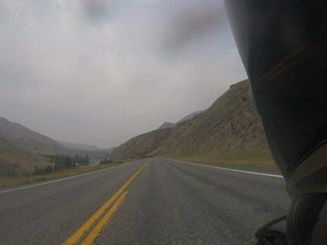
US-95, central Idaho
Short break here in Riggins, Idaho
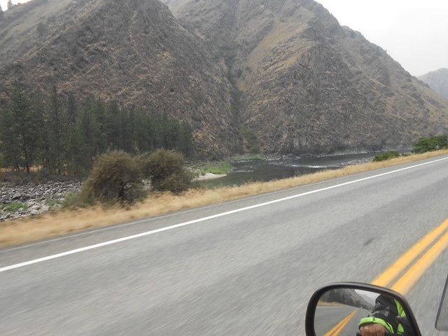
Parallels the Salmon River for miles…
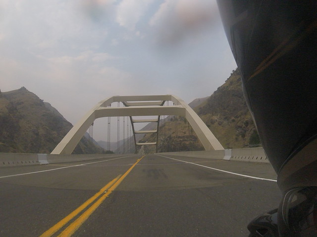
Bridge crossing the Salmon River
One of those road alignments that's been this way forever
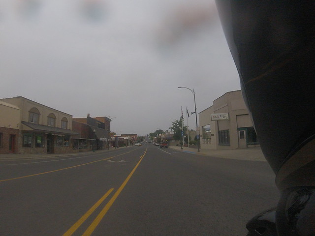
Grangeville, Idaho
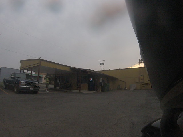
Tonight's lodging choice in Grangeville, Idaho
THE RIDE CONTINUES - CLICK HERE!
Day 1 - Tuesday, July 31 2018
Lake Havasu City, AZ to Grangeville, ID
GPS Distance: 1034 miles
Travel time: 16h 55m
States Claimed: AZ, CA, NV, UT, ID, OR
I had this leg significantly longer in my early planning, but in really reviewing those last couple hundred miles, I’m really glad I made the arrangements I did.
That rain that’d be chasing me to the first gas stop finally caught me just as I crossed the border into California. I’d really wanted to get a photo of all of the “Welcome to ” sign, and at first, I told myself turn around if needed to get it. Well, that plan went to crap about 15 minutes after this ride started.
That rain that’d be chasing me to the first gas stop finally caught me just as I crossed the border into California. I’d really wanted to get a photo of all of the “Welcome to ” sign, and at first, I told myself turn around if needed to get it. Well, that plan went to crap about 15 minutes after this ride started.
The rain was hard enough that for me to even considering stopping to take that photo of the California sign would not have been a good idea. So, then the welcome sign picture game became “it’d be nice to get…” - particularly on those states that I’d never been to.
A slight route deviation in Las Vegas; one of the last things I checked a couple days before was how I was routed at the US-95 / I-15 junction. I decided that it’d be easier for me to just get onto I-15 south from I-215 and roll straight thru the construction zone at that intersection - wise choice.
During the week prior to my departure, I learned about track file displays on my Spotwalla tracking page. The blue line represented my planned route. This should make it easier for those that didn’t know about the route (mainly non-riders) to follow my progress. I've since taken my GPS tracking files and now also Incorporated it into the same map as a red line.
During the week prior to my departure, I learned about track file displays on my Spotwalla tracking page. The blue line represented my planned route. This should make it easier for those that didn’t know about the route (mainly non-riders) to follow my progress. I've since taken my GPS tracking files and now also Incorporated it into the same map as a red line.
Getting onto US-93, I took the time to check tracking - what?? My Bubbler points were there, but the tracking dots weren’t showing up - reboot phone, all returns to normal. Weird...
My first few fuel stops were normal - 8 to 10 minutes long. Get gas, get the photo, stow the receipt in the proper location in the book and continue. Again, the person that came up with that idea - brilliant!
This first of a few ‘incidents’ happened; this was odd. The helmet cord is a typical two-piece system. The connector between the helmet cord and the rest of the audio system typically sits just above the area where it might get caught...until now.
When I moved away from the pump, I recognized it was quiet - cord is not attached. I moved away from the fuel island, and typically, can just pull the cord up to where I can attach it - either moving or at a standstill...uh-oh, not now.
I’d managed to snag the connector end under the gear shift lever! I do NOT have a spare - this could be bad if I’ve destroyed this. Fortunately, I’d just slightly deformed the connector. A quick squeeze, and it was able to plug into the helmet cord, and once again I had audio in both directions.
The fuel stop in Utah took a bit longer...nature called; good place as any to take care of business.
I had been on nearly every mile of these roads, on various other rides I’ve been on. Once I made the turn onto US-93 in Utah, then I was in new territory...and would be for at least the next five days.
As I rode further north, the temperatures continued to stay in the low 90 degree range. I knew from monitoring weather reports, this is a heat wave in the area - to me, this is nice!
I never knew Twin Falls was built right next to the Snake River Canyon...wow!
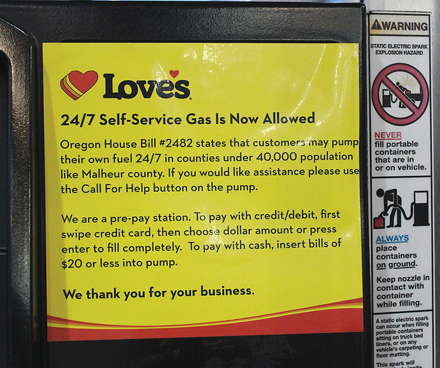
Oregon was another one - just like Utah was - that’s a ‘dash and go’ state. Dash in long enough to get a receipt, then dash back out and continue onto the next state. The people that laid these rides out...you could tell a lot of thought went into planning these locations. Many states would be in-and-out in an hour or less.
Fuel in Oregon
You can find a lot of folks from the Beaver State may not particularly care about the change made for gas retailers in rural areas to allow vehicle operators the ability to pump their own fuel.
My shot was a little blurry; found this image in an on-line story about the change in the law that went into effect this year:
I’m getting a bit tired, and I know I have some twisty forest roads to end the day on.
No other major events - ride went well, and another thousand mile day accomplished.
This community that I’d finally decided to end my first day on is near a lot of national forests and parks. For street motorcyclists, one of the better roads is the road from here thru Lolo Pass and into Missoula, MT. My fear was that I’d not get a room just randomly showing up, thus this was one of only three places that I’d made advanced lodging arrangements.
I got to the room and checked in. I’d really thought about walking a block to a restaurant/bar that I saw on the way in for a bit to eat.
Nope, wiped out. Phone call home, shower, goodie bag for a package of peanut butter crackers, cold water, and bed.
Do I have enough in me for three more of these in a row? I think so. I’m tired, but excited. I have a bit of a struggle to sleep. I roll over, fire up the police scanner app, put it on a familiar channel, set the timer - off to sleep I went.
THE RIDE CONTINUES - CLICK HERE!
Comments
Post a Comment
Comments welcomed. Thanks!